
Itinerary
14 Days in the Red Centre: Day-by-Day Itinerary
This is a loop from Alice Springs, so it works whether you fly in or arrive down the Stuart Highway. Every road on it is sealed.
- Length
- 14 days
- Total distance
- ~2,200 km
- Season
- May–September
- Vehicle
- 2WD is fine for this version. 4WD only if you swap in the Mereenie Loop.
- Suits
- Couples, Solo, Friends Group

Trip progression
Main route: Alice Springs → Ormiston Gorge → Kings Canyon → Yulara. Side destinations: Simpsons Gap, Standley Chasm (Angkerle Atwatye), Uluru, Kata Tjuta, Trephina Gorge. Shown for planning only — this is not a turn-by-turn route.
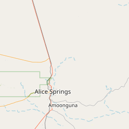
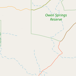
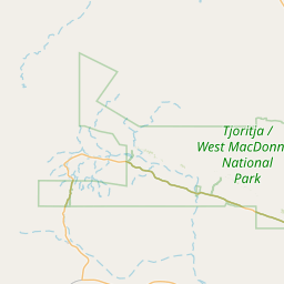
Main route: Alice Springs → Ormiston Gorge → Kings Canyon → Yulara. Side destinations: Simpsons Gap, Standley Chasm (Angkerle Atwatye), Uluru, Kata Tjuta, Trephina Gorge.
The structure is deliberate: West MacDonnells first while you are still acclimatising, then the long southern run to Kings Canyon and Uluru, then back. It avoids the common mistake of burning day one on a 450 km drive straight to Yulara.
Desert winter nights fall below zero. If you are camping, that is the single thing most people get wrong.
Day by day
| Days | Route | Distance | Drive | What you do | Sleep |
|---|---|---|---|---|---|
| Day 1 | Arrive Alice Springs | — | — | Desert Park in the afternoon, Anzac Hill at sunset. Buy supplies — Alice is the last full supermarket. | Alice Springs |
| Day 2 | Alice Springs → Simpsons Gap → Standley Chasm | 100 km return | 1h 30m total | Two short gorge walks. Standley Chasm's walls light up around midday, which is the one time of day it is worth being there. | Alice Springs |
| Days 3–4 | Alice Springs → Ormiston Gorge (West MacDonnells) | 135 km | 1h 45m | Ellery Creek Big Hole and Serpentine Gorge en route. Ormiston Pound Walk (7.5 km, 3–4 hours) on day 4 — do it clockwise and early. | Ormiston Gorge campground or Glen Helen |
| Day 5 | Ormiston → Alice Springs | 135 km | 1h 45m | Redbank Gorge on the way back if you have not had enough gorges. Restock, refuel, laundry. | Alice Springs |
| Day 6 | Alice Springs → Kings Canyon (via Stuart & Luritja Hwy) | 475 km | 5h | Long transit day. Stuarts Well and Erldunda for fuel. Arrive with light to spare. | Kings Canyon Resort |
| Day 7 | Kings Canyon | — | — | Rim Walk — 6 km, 3–4 hours, 500 steps up at the start. Gates close early on hot days; be walking by 7am. | Kings Canyon Resort |
| Day 8 | Kings Canyon → Yulara | 300 km | 3h 30m | Arrive by lunch. Cultural Centre in the afternoon, Uluru sunset viewing area in the evening. | Yulara |
| Day 9 | Uluru | 40 km local | — | Base walk at sunrise — 10.6 km, 3.5 hours, flat. Rest through the middle of the day. Mala or Kuniya walk late afternoon. | Yulara |
| Day 10 | Kata Tjuta | 100 km return | 1h | Valley of the Winds — 7.4 km full circuit, closed above 36°C from 11am. Sunrise viewing platform first. | Yulara |
| Day 11 | Yulara → Erldunda → Alice Springs | 445 km | 5h | Transit. Camel farm at Stuarts Well if you want to break it up. | Alice Springs |
| Days 12–13 | East MacDonnell Ranges | 160 km return | 2h | Trephina Gorge and the old Arltunga goldfields. Far fewer people than the western side. N'Dhala Gorge petroglyphs need 4WD — skip in a 2WD. | Trephina Gorge or Alice Springs |
| Day 14 | Alice Springs | — | — | Telegraph Station in the morning, Araluen art precinct, depart. | — |
Cost and booking notes
- Yulara is the only accommodation option at Uluru and it is priced accordingly. Book three to six months ahead for June–August.
- Uluru-Kata Tjuta park passes are valid for three consecutive days — plan days 8–10 to fall inside one pass.
- Fuel at Yulara and Kings Canyon runs well above Alice Springs prices. Fill at Erldunda where you can.
Common questions
Useful services on this trip
Related guides
Spotted something we should update? Let us know.