
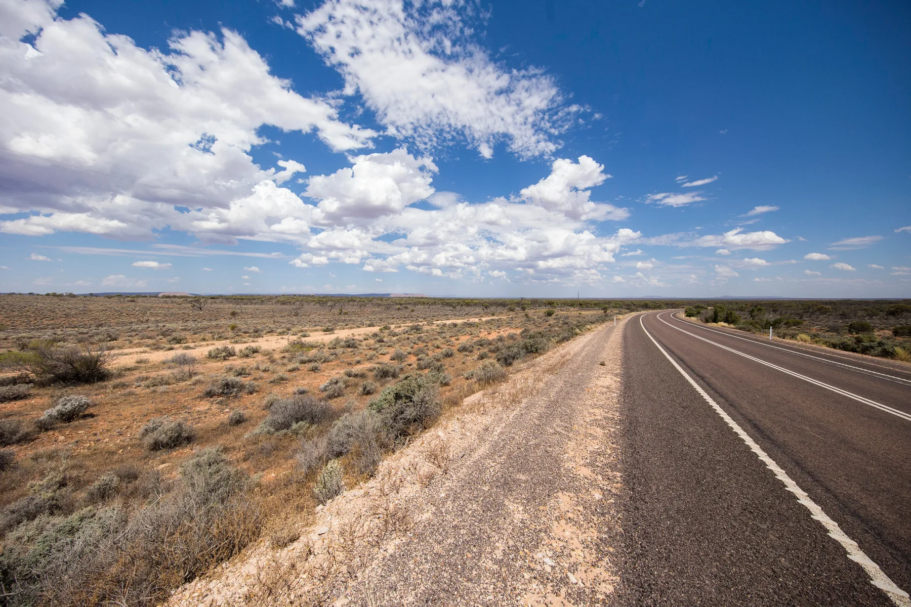
Route map
Stops shown in driving order with a straight line between them, for planning only — this is not a turn-by-turn route. Always check current road conditions before you travel.
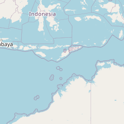
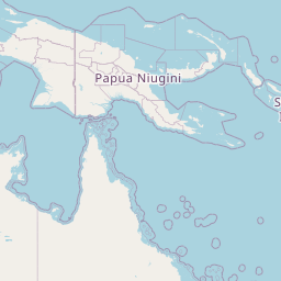
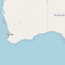
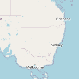

Route stops in order: 1. Port Augusta, 2. Woomera, 3. Coober Pedy, 4. Marla, 5. Kulgera, 6. Erldunda, 7. Alice Springs, 8. Karlu Karlu (Devils Marbles), 9. Tennant Creek, 10. Daly Waters, 11. Katherine, 12. Darwin.
Seasonal gate & outback safety
Check before you commit to dates- JJanuary — High risk / cut
- FFebruary — High risk / cut
- MMarch — Caution
- AApril — Open — go
- MMay — Open — go
- JJune — Open — go
- JJuly — Open — go
- AAugust — Open — go
- SSeptember — Open — go
- OOctober — Caution
- NNovember — High risk / cut
- DDecember — High risk / cut
- Open — go
- Caution
- High risk / cut
Sealed the whole way, so the gate is heat, not water. November to February regularly exceeds 40°C through the centre and a breakdown becomes life-threatening. March and October are workable with an early-start discipline.
Wildlife warning: do not drive at night
Do not drive the Stuart Highway after dark. Kangaroos, feral camels and unfenced cattle are on the road from dusk, and triple road trains need a kilometre to stop.
Live road conditions
It is also the only one of these routes that gets you to Uluru, Kata Tjuta and Kings Canyon without leaving bitumen, via the Lasseter Highway turnoff at Erldunda.
The genuine hazard is heat and fatigue, not terrain. Summer temperatures through the centre regularly exceed 40°C, and the gap between roadhouses can be 250 km with no shade and no coverage.
The stops, in driving order
- 01
Adelaide → Port Augusta
305 km in · 3h 30mCritical supply point — Last genuinely cheap fuel heading north. Fill and load water here.
Port Augusta is where the Stuart Highway properly begins and the last genuinely cheap fuel heading north.
Tip: The Australian Arid Lands Botanic Garden here is free and is the best short introduction to what you are about to drive through.
- 02
Woomera
480 km in · 2hRocket range town with an open-air missile park. Much of the surrounding Prohibited Area is off-limits.
Tip: Do not leave the highway corridor here. The Woomera Prohibited Area is active defence land with legal access restrictions.
- 03
Coober Pedy
845 km in · 4hCritical supply point — Fuel, water and mechanical help. Prices climb sharply north of here.
Opal town where a large share of the population lives underground in dugouts to escape the heat. Underground church, underground motels, and the Breakaways 30 km north.
Tip: Never walk backwards or step off marked paths on the opal fields — there are tens of thousands of unfenced, unmarked mine shafts, and people have fallen down them.
- 04
Marla / Kulgera (SA–NT border)
1080 km in · 2h 30mFuel and roadhouse beds. The NT border sits just north of Kulgera.
Tip: There is no daylight saving in Queensland or the NT; SA runs 30 minutes behind the NT for part of the year. Check your clock before booking anything.
- 05
Erldunda → Uluru-Kata Tjuta (detour)
1330 km in · 2h 30m to Erldunda, then 3h westCritical supply point — The Uluru turnoff. Fuel at Erldunda rather than Yulara or Kings Canyon.
The turnoff for Uluru and Kata Tjuta — a 244 km sealed run each way on the Lasseter Highway. Uluru is around 348 m high and the base walk is 10.6 km.
Tip: Climbing Uluru has been permanently closed since October 2019 at the request of the Anangu traditional owners. Do the base walk instead, and start it at first light in warmer months.
- 06
Alice Springs
1530 km in · 2h 30m from ErldundaCritical supply point — The only full-service town in the centre. Tyres, servicing, supermarket, medical.
The halfway city: full services, hospital, mechanics, and the base for the West MacDonnell Ranges — Ormiston Gorge and Ellery Creek Big Hole are both on sealed roads.
Tip: Service the vehicle here. It is the only place between Port Augusta and Katherine with proper workshops and parts.
- 07
Tennant Creek & Karlu Karlu (Devils Marbles)
2035 km in · 4hCritical supply point — Last substantial town before the long run to Katherine.
Karlu Karlu, 100 km south of Tennant Creek, is a field of granite boulders that is a sacred site and a registered conservation reserve. Best at sunrise or sunset.
Tip: There is a basic campground at Karlu Karlu. Staying the night is the whole point — the colour change at dawn is the reason to be there.
- 08
Daly Waters & Mataranka
2625 km in · 4hThe Daly Waters Pub is the classic outback pub stop. Mataranka's Rainbow Springs thermal pool sits at about 34°C year-round.
Tip: Thermal pools in the Top End can close for saltwater crocodile management after wet-season flooding. Check the current status on arrival, not before you leave.
- 09
Katherine
2735 km in · 1h 15mCritical supply point — Full services and the last big restock before Darwin.
Nitmiluk (Katherine Gorge) and the junction with the Savannah Way west to the Kimberley.
Tip: Canoeing the gorge is dry-season only. Book ahead in peak July.
- 10
Darwin
3050 km in · 3h 30mThe northern end. Kakadu and Litchfield are both accessible from here — Litchfield is the easy sealed-road option, Kakadu takes days.
Tip: Do not swim anywhere around Darwin that is not a designated, managed swimming area. Saltwater crocodiles are present in every waterway including tidal creeks and beaches.
Drive planning: legs, fuel and conditions
Three paces, same road: highway pace, a towing or 4WD rig, and what the day actually takes once fatigue and photo stops are in it.
| Leg | Distance | Standard vehicleHighway pace, no stops | Towing / 4WD rig90–100 km/h cruise | Realistic paceFatigue + photo stops | Fuel |
|---|---|---|---|---|---|
| Adelaide → Port Augusta | 305 km | 3h 30m | 4h 10m | 4h 20m | Frequent |
| Port Augusta → Coober Pedy | 540 km | 6h | 7h 10m | 7h 45m | Pimba, Glendambo |
| Coober Pedy → Marla | 235 km | 2h 30m | 3h | 3h 10m | Marla |
| Marla → Erldunda | 250 km | 2h 30m | 3h | 3h 10m | Kulgera, Erldunda |
| Erldunda → Yulara (Uluru) | 244 km | 2h 45m | 3h 20m | 3h 30m | Curtin Springs, Yulara |
| Erldunda → Alice Springs | 200 km | 2h 15m | 2h 40m | 2h 55m | Stuarts Well, Alice Springs |
| Alice Springs → Tennant Creek | 505 km | 5h 30m | 6h 35m | 6h 55m | Ti Tree, Barrow Creek, Wauchope |
| Tennant Creek → Mataranka | 590 km | 6h | 7h 10m | 7h 45m | Renner Springs, Elliott, Daly Waters |
| Mataranka → Darwin | 425 km | 4h 30m | 5h 25m | 5h 45m | Katherine, Pine Creek, Adelaide River |
| Whole route | 35h 30m | 42h 35m | 45h 10m | ||
How we get these: standard is moving time at signposted highway pace. Rig time assumes a 90–100 km/h cruise and slower acceleration — roughly 20% longer. Realistic pace adds a 15-minute fatigue stop every two hours (the national driver-fatigue guidance) plus about ten minutes an hour for photos, fuel and legs. Plan daylight around the realistic column, not the standard one.
| Leg | Distance | Fuel | Notes |
|---|---|---|---|
| Adelaide → Port Augusta | 305 km | Frequent | Sealed dual carriageway most of the way |
| Port Augusta → Coober Pedy | 540 km | Pimba, Glendambo | 253 km Glendambo–Coober Pedy with nothing between |
| Coober Pedy → Marla | 235 km | Marla | Cadney Park roadhouse midway |
| Marla → Erldunda | 250 km | Kulgera, Erldunda | SA–NT border; time zone change |
| Erldunda → Yulara (Uluru) | 244 km | Curtin Springs, Yulara | Sealed detour; Yulara fuel is the most expensive on the route |
| Erldunda → Alice Springs | 200 km | Stuarts Well, Alice Springs | Full services at Alice |
| Alice Springs → Tennant Creek | 505 km | Ti Tree, Barrow Creek, Wauchope | Karlu Karlu 100 km before Tennant Creek |
| Tennant Creek → Mataranka | 590 km | Renner Springs, Elliott, Daly Waters | Longest single day; break it at Daly Waters |
| Mataranka → Darwin | 425 km | Katherine, Pine Creek, Adelaide River | Traffic increases from Katherine north |
What can go wrong
- Between Glendambo and Coober Pedy there is a 253 km stretch with no fuel, no water and patchy-to-absent phone coverage. Fill up before it, every time.
- Do not drive at dawn, dusk or night on the Stuart Highway. Cattle, camels, kangaroos and roos feeding on roadkill make night driving the single most dangerous thing you can do on this route.
- Carry a minimum of 4 litres of water per person per day plus a reserve. If you break down, stay with the vehicle — it is shade, it is visible from the air, and it is far easier to find than a person walking.
- Sections of the Stuart Highway have no speed limit signage variation but do have long single-lane overtaking conditions with road trains up to 53.5 m. Allow well over a kilometre of clear road before committing to an overtake.
Conditions change seasonally and after storms. Check current conditions with the road authority before relying on any of this.
Common questions
Where this is researched from
- NT Road Report and SA Traffic — Live highway conditions, flooding and closures
- Parks Australia — Uluru-Kata Tjuta National Park — Park entry, walk closures and heat-related walk closure rules
This is a researched guide, not a firsthand trip report. How we research.
Spotted something we should update? Let us know.