
Itinerary
10 Days on the East Coast: Sydney to Byron Bay
The Sydney–Byron run is the most driven route in Australia and the most commonly rushed. Straight through it is nine hours; done properly it is ten days.
- Length
- 10 days
- Total distance
- ~1,100 km one way
- Season
- Year-round; best September–November and March–May
- Vehicle
- Any 2WD. Fully sealed highway the whole way.
- Suits
- Backpacker, Couples, Friends Group
- Route style
- Point-to-point

Route map
Approximate route: Sydney → Port Stephens → Port Macquarie → South West Rocks → Coffs Harbour → Yamba → Byron Bay. Shown for planning only — this is not a turn-by-turn route. Always check current road conditions before you travel.
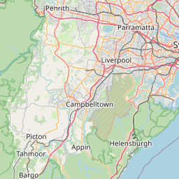
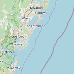
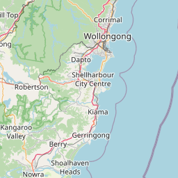
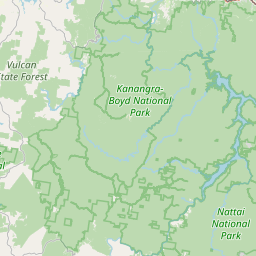

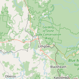


Route stops in order: 1. Sydney, 2. Port Stephens, 3. Port Macquarie, 4. South West Rocks, 5. Coffs Harbour, 6. Yamba, 7. Byron Bay.
The Pacific Highway is now dual carriageway almost the entire way, which is faster but means the good stuff is all off the highway. Every stop below requires deliberately exiting.
This ends at Byron. If you are continuing to Brisbane, add a day — it is another two hours plus the Gold Coast, and Queensland does not observe daylight saving, so your clock changes at the border in summer.
Day by day
| Days | Route | Distance | Drive | What you do | Sleep |
|---|---|---|---|---|---|
| Day 1 | Sydney → Port Stephens | 220 km | 2h 45m | Arrive by lunch. Tomaree Head summit walk (2.2 km return, steep, best at sunset) and the Stockton sand dunes. | Nelson Bay |
| Day 2 | Port Stephens | local | — | Whale watching cruise (May–November) or a dolphin cruise year-round. Fingal Bay in the afternoon. | Nelson Bay |
| Day 3 | Port Stephens → Port Macquarie | 250 km | 3h | Koala Hospital (free entry, donation-based, feeding at 3pm), Tacking Point Lighthouse, the painted breakwall. | Port Macquarie |
| Days 4–5 | Port Macquarie → South West Rocks & Nambucca | 160 km | 2h | Trial Bay Gaol and Smoky Cape Lighthouse. Nambucca Heads V-Wall. Both are quiet in a way Byron no longer is. | South West Rocks |
| Day 6 | → Coffs Harbour & Bellingen | 120 km | 1h 45m | Bellingen for the morning (proper country town, not a tourist strip), Dorrigo Skywalk if you have the time, Big Banana on the way through. | Coffs Harbour |
| Day 7 | Coffs → Yamba | 170 km | 2h | Yamba is the sleeper on this route — Main Beach, Angourie Point, and the Clarence River ferry to Iluka's World Heritage rainforest. | Yamba |
| Day 8 | Yamba → Byron Bay | 180 km | 2h 15m | Arrive late morning. Cape Byron lighthouse walk (3.7 km loop) at the mainland's easternmost point. Wategos for swimming. | Byron Bay |
| Day 9 | Byron hinterland | 80 km | 1h 30m | Bangalow and Nimbin, or Minyon Falls in Nightcap National Park. Crystal Castle if that is your thing. | Byron Bay |
| Day 10 | Byron Bay | — | — | Sunrise at the lighthouse, beach morning, fly out of Ballina (30 min) or Gold Coast (1h 15m). | — |
Cost and booking notes
- Byron accommodation is the most expensive on the route by a wide margin and books out for Splendour, Bluesfest and every school holiday period.
- Ballina Byron airport is 30 minutes from Byron and usually cheaper to fly out of than driving to the Gold Coast.
- Beach parking in Byron is metered and enforced. Park once and walk.
Common questions
Useful services on this trip
Related guides
- New South Wales state guide →
- Queensland state guide →
- Grand Pacific Drive route guide →
- Hinterland Way (Byron Bay Hinterland) route guide →
- When to travel: weather guide →
- Seasonal wildlife calendar →
- Want different dates or a custom route? Try the trip planner →
- Need a vehicle? Vehicle & caravan hire →
- Driving in Australia: licence & basics →
Spotted something we should update? Let us know.