
Route map
Stops shown in driving order with a straight line between them, for planning only — this is not a turn-by-turn route. Always check current road conditions before you travel.
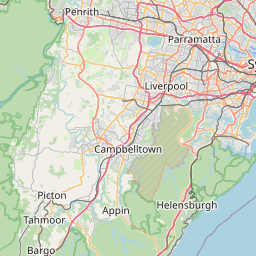
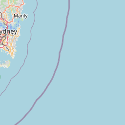
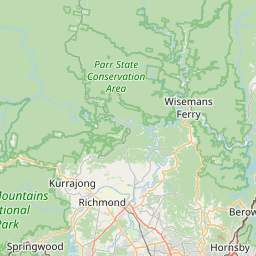
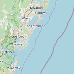
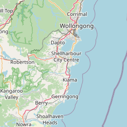




Route stops in order: 1. Sydney, 2. Royal National Park (Audley), 3. Bald Hill Lookout, Stanwell Tops, 4. Sea Cliff Bridge, Coalcliff, 5. Austinmer, 6. Wollongong, 7. Nan Tien Temple, Berkeley, 8. Kiama Blowhole, 9. Shoalhaven.
Seasonal gate & outback safety
Check before you commit to dates- JJanuary — Caution
- FFebruary — Open — go
- MMarch — Open — go
- AApril — Open — go
- MMay — Open — go
- JJune — Open — go
- JJuly — Open — go
- AAugust — Open — go
- SSeptember — Open — go
- OOctober — Open — go
- NNovember — Open — go
- DDecember — Caution
- Open — go
- Caution
- High risk / cut
Open year-round and never seasonally gated. Amber months are summer weekend traffic and full car parks, not road risk.
Wildlife warning: do not drive at night
The Royal National Park and escarpment sections carry wombats, deer and roos after dark. Drive the park in daylight.
Live road conditions
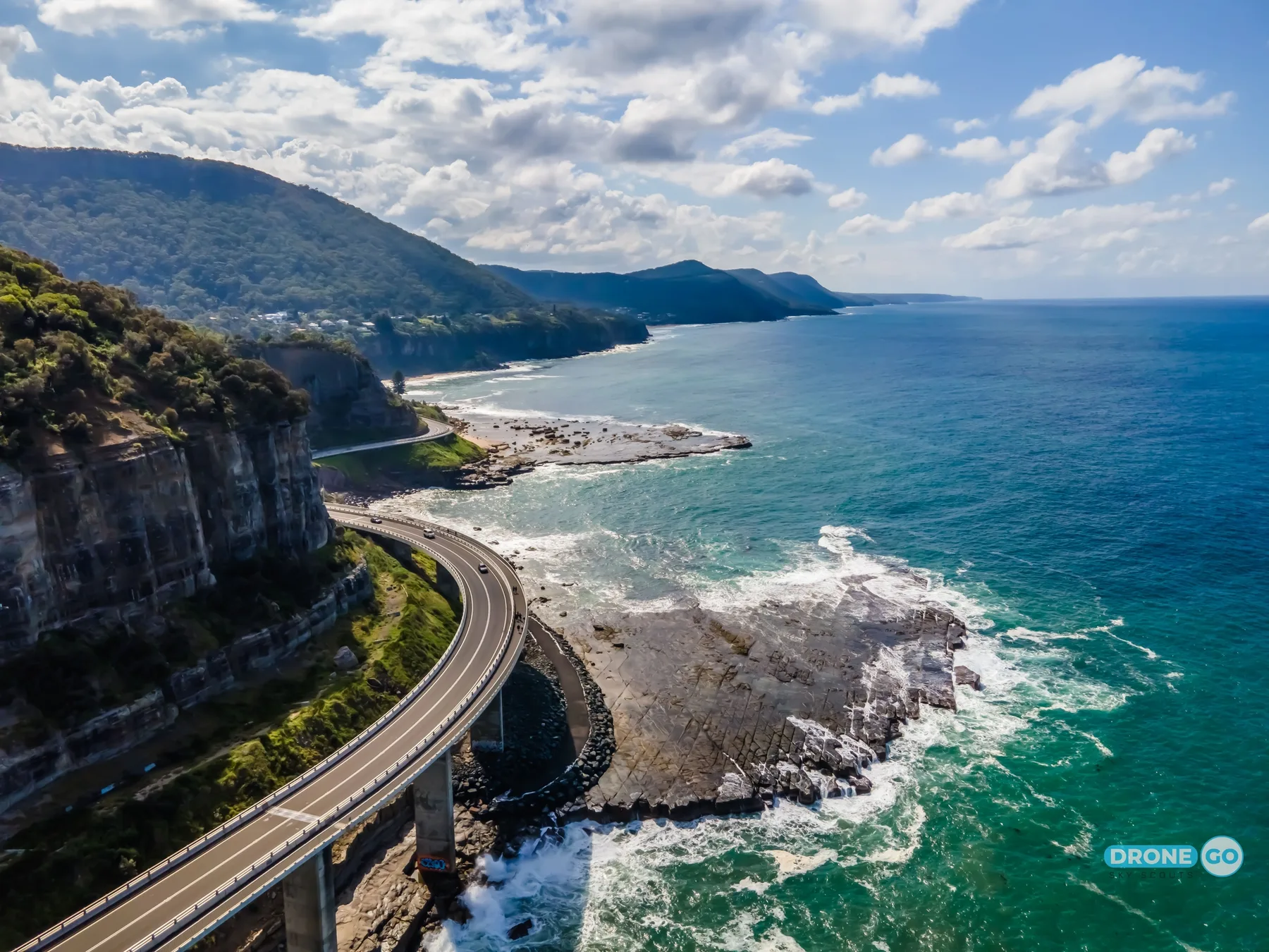
The centrepiece is the Sea Cliff Bridge at Coalcliff — a 665 m balanced cantilever bridge built out over the water in 2005 after the old cliff-base road kept getting hit by rockfalls.
Because it is close to Sydney, the difference between a good day and a frustrating one is timing. Leave before 8am on a weekend or you will queue at Stanwell Tops and fight for parking at Kiama.
The stops, in driving order
- 01
Royal National Park (Audley / Sir Bertram Stevens Drive)
0 km in · 45 min from Sydney CBDCritical supply point — No fuel inside the park. Fill in Sutherland or Waterfall before you enter.
Australia's oldest national park (gazetted 1879). The drive through it is the proper start to the route.
Tip: There is a per-vehicle daily park entry fee at the Audley entrance. Pay it, or take the Princes Highway around and rejoin at Waterfall.
- 02
Bald Hill lookout, Stanwell Tops
26 km in · 30 minThe high clifftop view straight down the coast to Wollongong, and the launch site for tandem hang gliding and paragliding.
Tip: Free car park, but it is small and it fills between 10am and 3pm on fine weekends. The best light is early.
- 03
Sea Cliff Bridge, Coalcliff
30 km in · 8 minThe bridge itself, with a separated pedestrian walkway you can walk across.
Tip: You cannot stop on the bridge. Park at the northern (Coalcliff) end and walk — round trip is about 25 minutes.
- 04
Austinmer / Thirroul
40 km in · 12 minTwo of the best ocean rock pools on the coast, both free, both patrolled beaches in summer.
Tip: Austinmer's pools sit right on the beach and are usually calmer than they look at high tide with a big swell running.
- 05
Wollongong (Flagstaff Point)
58 km in · 20 minTwo lighthouses on one headland, the harbour, and the last large city services before Nowra.
Tip: Best coffee-and-lunch stop on the route, and free parking is easier here than anywhere further south.
- 06
Nan Tien Temple, Berkeley
66 km in · 12 minThe largest Buddhist temple in the southern hemisphere. Free entry, open to visitors, active place of worship.
Tip: Closed Mondays other than public holidays. Cover shoulders and knees.
- 07
Kiama Blowhole
90 km in · 30 minA sea cave that fires spray up to 20 m when a big south-easterly swell is running. Free, floodlit at night.
Tip: The blowhole only performs with a decent south-east swell. Check a surf forecast the morning you go — in flat conditions it does nothing.
- 08
Shoalhaven (Berry, Nowra, Jervis Bay)
140 km in · 40 minWhere the drive ends. Jervis Bay's Hyams Beach is another 30 minutes off-route and has famously white sand.
Tip: Hyams Beach parking is heavily restricted in peak summer with residential permit zones — check current signage or park at Greenfield Beach and walk.
Drive planning: legs, fuel and conditions
Three paces, same road: highway pace, a towing or 4WD rig, and what the day actually takes once fatigue and photo stops are in it.
| Leg | Distance | Standard vehicleHighway pace, no stops | Towing / 4WD rig90–100 km/h cruise | Realistic paceFatigue + photo stops | Fuel |
|---|---|---|---|---|---|
| Sydney CBD → Royal National Park | 35 km | 45m | 55m | 55m | Sutherland |
| Royal NP → Sea Cliff Bridge | 30 km | 40m | 50m | 45m | Helensburgh |
| Sea Cliff Bridge → Wollongong | 28 km | 30m | 35m | 35m | Thirroul, Wollongong |
| Wollongong → Kiama | 32 km | 30m | 35m | 35m | Shellharbour, Kiama |
| Kiama → Nowra | 50 km | 40m | 50m | 45m | Berry, Nowra |
| Whole route | 3h 5m | 3h 40m | 3h 35m | ||
How we get these: standard is moving time at signposted highway pace. Rig time assumes a 90–100 km/h cruise and slower acceleration — roughly 20% longer. Realistic pace adds a 15-minute fatigue stop every two hours (the national driver-fatigue guidance) plus about ten minutes an hour for photos, fuel and legs. Plan daylight around the realistic column, not the standard one.
| Leg | Distance | Fuel | Notes |
|---|---|---|---|
| Sydney CBD → Royal National Park | 35 km | Sutherland | Park entry fee applies at Audley |
| Royal NP → Sea Cliff Bridge | 30 km | Helensburgh | Steep descent at Otford; low gear |
| Sea Cliff Bridge → Wollongong | 28 km | Thirroul, Wollongong | Beach suburbs, 50 km/h zones |
| Wollongong → Kiama | 32 km | Shellharbour, Kiama | Fast dual carriageway option inland |
| Kiama → Nowra | 50 km | Berry, Nowra | Berry is the food stop; it clogs on weekends |
What can go wrong
- The Lawrence Hargrave Drive section through Coalcliff and Clifton is a signposted rockfall zone. Do not stop or park under the cliff faces outside marked bays.
- Royal National Park roads close during total fire bans and after storms. Check NSW National Parks alerts before setting out.
- Kiama's blowhole platform gets swamped by rogue sets. The wet zone on the rock is the warning line — stay above it.
Conditions change seasonally and after storms. Check current conditions with the road authority before relying on any of this.
Common questions
Where this is researched from
- NSW National Parks and Wildlife Service — Royal National Park entry fees, closures and fire bans
- Destination Wollongong / Kiama Council — Parking rules and blowhole platform safety notices
This is a researched guide, not a firsthand trip report. How we research.
Spotted something we should update? Let us know.